Menalon Trail Hike in Arcadia, Greece

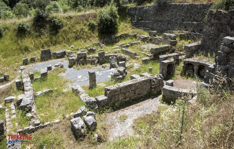
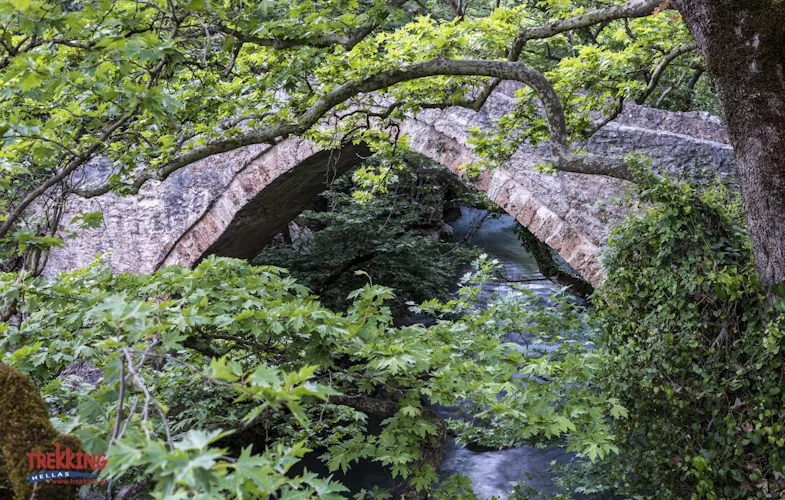
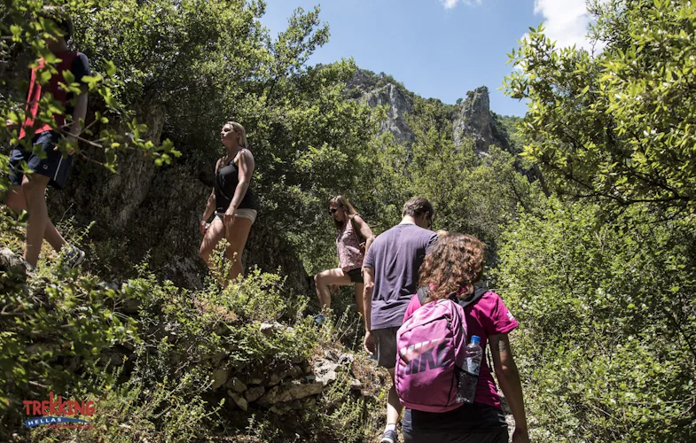
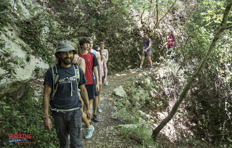
Discover the amazing Menalon Trail in Arcadia, one of the famous "Greek Paths of Culture", on an intensive hiking week in the mountains with a certified local guide.
7 Days
Mar - Nov
High
Intermediate
Highlights
* Explore the famous Menalon Train in the Peloponnese.
* Learn about the rich Greek culture as you traverse from village to village.
* Experience unique views, beautiful landscapes, and a rich local welcome.
Description
The impressive Menalon Trail awaits you on this 7-day mountain hike that will take you from village to village in the gorgeous Peloponnese in Greece.
We will set off from the historical village of Stemnitsa and end in Lagadia. On the way, we will visit many of the emblematic spots of Arcadia, that make the Menalin Trail what it is, an amazing combination of culture and nature. You can find a detailed day-by-day itinerary below.
This trip will require you to hike between 10 to 20 kilometers per day, and on occasion, facing altitude gain. Some of the footpaths will be more straightforward than others. Therefore, a good fitness level is necessary to enjoy this hike. Of course, we will at all times be there to help and guide you on the way.
Contact us today if you are interested in joining this unforgettable Menalon Trail hiking adventure and we will be happy to answer all your questions and requests.
Or, join us on an unforgettable hiking adventure in Crete!
Price includes
- Accommodation included
- Guiding fee
- Breakfast
- Lunch
- Transport during the trip
- Luggage transfer
Price details
Trekking Hellas English-speaking hiking guide
Accommodation in double rooms with breakfast
Full-board meals: Dinner x 6 days & lunch box x 5 days with local homemade products
Luggage transfer from hotel to hotel throughout the trip
Passenger transfer from Elati to Nymfasia village & Nymfasia to Elati
Hotel stay over tax
Itinerary
Day 1: Stemnitsa
You will arrive in Stemnitisa, a village of goldsmiths and the headquarters for the Peloponnesian Senate in 1821.
In the evening, we will meet at your hotel in Stemnitsa for a trip briefing with your hiking guide. Then we will enjoy a welcome dinner.
Day 2: Dimitsana Lousios Gorge
From Stemnitsa, we will cross the Lousios Gorge to get to Dimitsana.
On the way, we will cross old farmlands, pass by the Transfiguration of Christ Church, and admire amazing views before reaching the paved path that leads to the Prodromos Monastery.
We will continue to the Old Philosophou Monastery, which dates back to 963, and then to the New Philosophou Monastery founded in 1691.
Afterward, via an old mule track, we will head to Dimitsana through bridges, and towards the Open Air Water-Power Museum.
Distance: 12,5 km – 7,7 Miles / Time: 5 hours / Ascent: 825 m. – 2,706 ft / Descent: -941 m. – 3,087 ft / Min. Height: 420 m. – 1,377 ft / Max. Height: 1,095 m. – 3,592 ft.
Day 3: Zigovisti
The Dimitsana-Zigovisti trail goes up from the Lousios valley to the outskirts of a fir forest.
On the way, we will pass important historical buildings. Then, we will take the footpath that ascends gently and arrives on the first plateau, intersecting a dirt road and the church of St. Paraskevi.
You will enjoy gorgeous views of the median basin of the Lousios river dotted by the settlements of Dimitsana, Paliochori, and Zatouna in the wooded landscape.
A series of footpaths and dirt roads, then a plain of old fields, and then the small monastery of St. Apostoli will be on the way to Zigovisti.
Just after passing through the Immortals Memorial, the guard of Theodore Kolokotronis, leader of the 1821 Independence War, we will enter Zigovisti’s center.
The memory of the 1821 Greek Independence War has infused this tiny and historical village with patriotic pride.
Distance: 4,2 km – 2 Miles / Time: 2 hours / Ascent: 256 m. – 839 ft / Descent: -61 m. – 200 ft / Min. Height: 964 m. – 3,162 ft / Max Height: 1,174 m. / 3,851 ft.
The Zigovisti – Elati section straddles the Western Menalon massif. The trail heads through a beautiful ravine continues through a crooked dirt road and an artificially reinforced footpath to the Bourniades Spring. We then smoothly ascend to Bilali Pass, an important node of old paths that connected Radou and Stemnitsa. From Bilali Pass we ascend to the saddle between Pliovouni and Fragovouni (short cut leading to the peak of Pliovouni 1,643 meters, the highest peak of this route). Then following a steep path we enter Vlachika Plateau and follow the path to the mountain settlement of Elati.
Distance: 14,9 km – 9 Miles / Time: 5 hours / Ascent: 653 m. – 2,142 ft / Descent: -631 m. – 2,070 ft / Min. Height: 1,109 m. – 3638 ft / Max. Height: 1,550 m. – 5,085 ft.
Day 4: Elati-Vytina-Nymfasia
We will cover 2 stretches on day 4. The first will take us from Elati to the Milaon riverbed. Following the trail, we will pass the big Pirgaki Springs water drilling rig (that supplies Vytina with water), and then, the stone-built Makrinou Fountain.
From there, we enter a dirt road leading to Ellinika, under the hill where the Acropolis of the antique Methydrion was.
From there, we will follow the old mule track to Vytina, which is rich in vegetation and water mills.
Distance: 8,5 km / 5,4 Miles / Time: 2,5 hours / Ascent: 234 m. – 767 ft / Descent: -375 m. – 1,230 ft / Min. Height: 918 m. – 3,011 ft / Max. Height: 1,180 m. – 3,871 ft.
After resting in Vytina, we will continue to Nymphasia through the Old Vytina footpath that leads to Mavra Litharia, a massive limestone boulder in the Milaon riverbed, that the stream cut in half creating a short yet impressive gorge. Then we start descending to Tzavarenas’ solid stone bridge that secured the connection between Vytina with the western Gortynian villages.
We will walk uphill in a rocky landscape made of flysch covered with shrubs, reaching an altitude of 880 meters, and then we head horizontally towards Nymphasia, a small yet lively satellite of Vytina.
Distance: 5,6 km – 3,4 Miles / Time: 2 hours / Ascent: 235 m. – 770 ft / Descent: -339 m. – 1,112 ft / Min. Height: 813 m. – 2,667 ft / Max. Height: 1,041 m. – 3,415 ft.
Day 5: Magouliana-Valtesiniko
Day 5 will also be split into 2.
We will begin through a nice oak wood to the downhill trailhead that leads to the Kernitsa Bridge, from where the trail goes up to the Kernitsas Monastery, a big complex in an impressive monolith boulder.
We will continue on through footpaths until we cross a dense fir forest and arrive at Sfyrida Hermitage, where we can stop to rest. From there (1,000 m.), we ascend through the forest to the intersection Lasta (alt. 1,250 m.) intersection and then head south on the long steep slope of Kastro which then continues on an old pathway. After the Gavros Spring, we enter the small settlement of Magouliana.
Distance: 8,9 km – 5,53 Miles / Time: 3,30 hours / Ascent: 660 m. / Descent: -364 m. / Min. Height: 781m – 2,562 ft / Max. Height: 1,272 m. / 4,173 ft.
From Magouliana we will then continue through small roads and arrive to the saddle west of the village, where an intersection to Lasta is located. We descend toward the old Mana Sanatorium and reach the intersection of two asphalt roads across the church St. Pantes.
The route leads down to a valley along a small river and continues until the junction with another small river and a concrete bridge before entering Kaminia, a small inner basin, tucked at the foot of Valtesiniko. A good path, once paved, will take us up to Valtesiniko (the village of woodcarvers).
Distance: 6,6 km – 4,10 Miles / Time: 2,30 hours / Ascent: 167 m. – 547 ft / Descent: -301 m. – 987ft / Min. Height: 1,019 m. – 3,343 ft / Max. Height: 1,307 m. – 4,288 ft.
Day 6: Valtesiniko-Lagadia
After passing an impressive stone-built school and accessing the upper peripheral road of the village, we will gain altitude up to 1,250 meters. From there, the footpath runs along the ridge where the Byzantine fortress of Valtesiniko is located.
Then, we will descend to the small St. Triada Church through open landscapes. An extensive fir forest will take us through a series of artificially widened paths. After a short detour, we will gain some altitude before going down again near the Kria Vrisi fountain from where the path ascends smoothly to the saddle and asphalt road.
We will follow the small forest road through a wooded ridge to Elatakos, and to the Grilas meadow which boasts walnut trees, threshing floors, and huts.
On the western edge, we will see Lagkadia Passing by the small Koubliza Spring and the impressive Rapi Watermills. We will then enter Lagkadia and conclude the Menalon Trail at the war memorial.
Distance: 13,9 km – 8,07 Miles / Time: 5 hours / Ascent: 596 m. – 1,955 ft / Descent: -775 m. – 2,542 ft / Min. Height: 937 m. – 3,074 ft / Max. Height: 1,377 m. – 4,517 ft.
Day 7: Departure from Lagadia
About the guide
Trekking
5.00
(5)
Tour Operator
Trekking Hellas is the largest and most renowned tour operator in Greece, in the outdoor holidays area. For over 33 years, we have been providing high quality services for individuals and groups, offering unique adventures in the most beautiful locations in the country, with highly qualified guides.
The variety of activities in offer is huge, from sea kayaking, hiking and rafting, to biking, via ferrata, rock climbing or gastronomy tours, among many others.
We operate 12 bases all over Greece, with different activities. The personnel in each base has the required qualifications to guide the specific activities we operate: eg. for hiking at low altitudes we work with experienced mountain guides with degrees from mountaineering associations and from our own training school; for sea kayaking we require the BCU certificate.
We contribute to the sustainable rural development by supporting local communities and offering work opportunities to their inhabitants, and the global effort to reduce over-tourism. We strongly embrace and implement a socially and environmentally responsible policy promoting the protection of nature and environmental awareness.
Our network makes it possible to offer and operate at the highest standards a variety of activities all over the country, in classic touristy destinations (Santorini, Athens, Crete, Rhodes, etc.) and less known regions of Greece (Tzoumerka, Karpenisi etc.).
Send us a request and come join us for a unique adventure in Greece!
Languages
Italian | German | French | English
What people are saying about Trekking
5.00
A wonderful experience! We were two people and we hiked several parts of the Menalon trail (self- guided) with Trekking Hellas. The reservation process was smooth. The office staff were very helpful and polite. They responded quickly to all our requests and helped us tailor the hike to our great satisfaction (Thank you Theodore for the patience!). After finalizing the trip details and completing the full payment- we got a detailed description of the trip with all the necessary contacts, including a very useful gpx file of the trail. In the hike itself, everything went smoothly. On the first day we met a guide, who gave us a map of the trail, and advised us about the trail. The company was responsible enough to tell us in advance about part of the trail that was wrecked during the winter (they even pre-arranged a taxi that waited for us in the middle of the hike and transferred us to a nearby point). The villages we arrived at were beautiful (We especially like Dimitsana and Vytina. The hotels were lovely, and the staff were always friendly and helpful. One final tip: The hikes are great but they are not easy. We highly recommend that you read the trail specifications in advance and choose to walk only the parts that fit your needs. In some cases, the advised hikes may be too long. For example, day 3 of the suggested itinerary includes roughly 19.1 km (Dimitsana- Zygovitsi-Elati). Given that the trail is ascending and descending - this means a very long day. We only walked Zygovitsi-Elati (15km; enough for us), but we met a family who did walk the entire path and walked for 11 hours on that day. While it is doable, we recommend that you make your choices in advance -so that the you enjoy your vacation. We wish you a nice stay in Greece. According to our experience, with Trekking Hellas you are in good hands. This not the first time we booked tours with Trekking Hellas, and probably will not be the last. Highly recommended!
5.00
The Menalon trail is a very nice and versatile walking path of about 75km in center Greece. We decided to take the self guided trek offered by Trekking Hellas because it saved us the burden of searching for accommodations along the path, and also they take care of transferring our luggage from hotel to hotel, so we can carry minimum weight when walking. I must say our experience was great. We got prompt support before and during the vacation. All arrangements worked perfectly. Every hotel owner knew us and prepare a nice lunch box for the day walk, so we did not have to think about that as well. All hotels selected where highly rated ones. This not the first time we booked tours with Trekking Hellas, and probably will not be the last. Highly recommended!
Natasja
5.00
George offered great introduction and guidance. Very patience and increased the level of climbing according to the participants. Great experience!
Yvonne
5.00
Our first time with Explore-Share. An absolutely fantastic experience from start to finish. Extremely good value, very well organised with attention to detail. We travel widely and this has by far been the best of experiences. Well done to all concerned. We are already looking at booking another trip!
Galen
5.00
George was a great guide, fun to talk to, informative, and attentive to safe. We all made great friends with him, and had a great experience.
Join our newsletter!
Stay up-to-date on the best adventures.

