Pale di San Martino 3-day trek, Dolomites
This trip is currently unavailable. Continue exploring the site and find your guided adventure!
You may also like
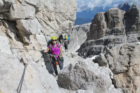
This 3-day "Pioneers Highway" trek takes you through the spectacular Pale di San Martino Group in the Dolomites. Eddj, an AMM certified Mountain Leader, takes you on this amazing 65 kilometers itinerary.
MOUNTAIN RANGES
Dolomite Mountains
DURATION
3 Days
OFFER PERIOD
Jul - Oct
FITNESS LEVEL
high
SKILL LEVEL
Intermediate
PAYMENT METHODS
Credit Card, Wire Transfer and more!
Description
Description
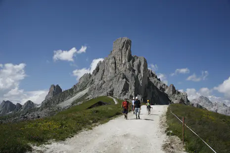
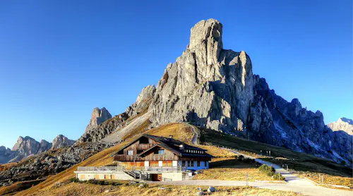
The spectacular Pale di San Martino Group is one of largest groups of mountains in the Dolomites. I invite you to join me on a 3-day trek through a new and fascinating route: the Alta Via dei Pionieri or Pioneers Highway. This amazing 65 kilometers itinerary embraces the entire Pala Group, as it’s called in English.
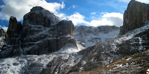
The Pale di San Martino has five subgroups, boasting some of the most interesting hiking possibilities in the region. I will take you among historical and legendary places, wild areas and renowned tourist destinations. You will recall with us the history of mountaineering written through these fascinating rock cathedrals.
We will meet in Agordo, a town located in the province of Belluno, in the Veneto region, where we will introduce ourselves and present the Alta Via dei Pionieri schedule. After the initial briefing, we will head to the departure spot by transfer. (You can check the detailed itinerary below this text).
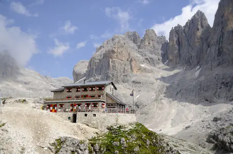
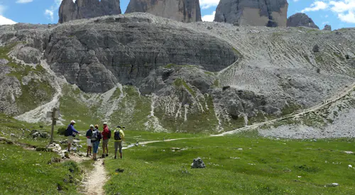
The first stage of our hiking adventure starts in Forcella Aurine (1297 m), rapidly increasing the altitude up to the Menegazzi Bivouac (1737m) and entering the amazing rocky world of Pale di San Martino. During this first day, we will enjoy great hikes surrounded by spectacular views. We will spend our first night at the Pradidali Refuge (2278m).
We start the second day with an invigorating breakfast, reaching Pradidali Basso (2621 m) and going ahead through the Pale di San Martino tableland, up to the Pedrotti Rosetta Refuge (2581 m). We make a short stop here before we begin to hike down. Later, we enjoy a breathtaking panorama above Cimon della Pala (3129 m) and Vezzana Peak (3192m). We descend again and reach the Volpi di Misurata Refuge (2571) for the second overnight stay.
The third day takes us through spectacular trails, arriving at Cime Comelle Hut(1333m) and to Casera Campigat. We start our descent into great tracks, to the bottom of the valley. In the last part of the hike, we reach the locality of Col di Prà (843m) and continue to Taibon Agordino (620m). The Alta Via dei Pioneri finishes and a transfer takes us back to Agordo, after 3 unforgettable days.
Please note you need previous experience in outdoor mountain activities and an adequate physical conditions in order to join this hike.
Want to join me on this unique trek in the Dolomites? Check the dates below and book your trip! Join a group and enjoy this spectacular trek through the Pale di San Martino.
Itinerary
Itinerary
Day 1: Agordo-Forcella Aurine (1297m)-Pale di San Martino-Pradidali Refuge (2278m)
We will meet in Agordo, a town located in the province of Belluno, in the Veneto region. We will introduce ourselves and present the Alta Via dei Pionieri schedule. After the initial briefing, we will reach the departure spot by transfer.
The first stage of the trek starts in Forcella Aurine (1297 mt). From this
point we will begin to walk towards Trail Nº33, rapidly increasing the altitude up to Menegazzi Bivouac (1737 mt). From here we will enter the rocky world of Pale di San Martino, heading towards Sass d’Ortiga, walking through Trail Nº 720 up to the evocative Forcella Delle Mughe (2244 mt).
Passing the top of a hill, we will climb down the same track till Treviso Refuge (1629 mt) to stop for a break and enjoy the surrounding view. From Treviso Refuge we will continue crossing Val Canali, walking through Trail Nº707 until Cant del Gal Hotel (1180 mt). From here we will leave again accessing Trail Nº 709, increasing quota and arriving to Pradidali Refuge ( 2278 mt) where we will stop for the first overnight stay.
Positive Difference in Height: +2100 mt
Negative Difference in Height: -1100 mt
Length: 19 km
Duration: around 8/10 hours
Day 2: Pradidali Refuge (2278m)-Pale di San Martino tableland-Cimon della Palla (3192m)-Volpi di Misurata Refuge (2571m)
After an invigorating breakfast at Pradidali Refuge, our day begins with Trail n. 709, reaching Pradidali Basso (2621 mt) and going ahead through the Pale di San Martino tableland, up to Pedrotti Rosetta Refuge (2581 mt), where our schedule permits a short pause before the descent.
We will continue on Trail n.701 going downhill to cross Trail n. 706, increasing quota till joining up Track n. 721, called the Finanzieri Trail.
We will walk through all of it up to reach Malga Fosse di Sopra (1936 mt), going ahead for a short part of paved street and, once arrived at Passo Rolle, we will nimbly climbing up again on a woody street up to Baita Segantini (2170 mt).
Here you will admire a wonderful panorama above Cimon della Pala (3129 mt) and Vezzana Peak (3192mt): in this spot it’s necessary a break to contemplate the surrounding nature.
With the eyes filled with these spectacular images, we will leave again descending towards Val Venegia, along the forestry way n. 710A for a couple kilometres. Losing altitude we will access Trail n. 710/A on the right, climbing up to Passo del Mulaz (2619 mt); from here we will reach Volpi di Misurata Refuge (2571) where we will stop for the second overnight stay.
Positive Difference in Height: +1250 mt
Negative Difference in Height: -1000 mt
Length: 23 km
Duration: 8/9 hours
Day 3: Mulage Refuge-Forcella della Stia (2190m)-Cima Comelle Hut (1333m)-Descent Trails-Agordo
After breakfast at Mulage Refuge we will head for Trail n. 722, leaving it then at the crossroads with Trail n.752 (1988 m) beginning the rise towards Forcella della Stia (2190 m).
Positive Difference in Height: +650 mt
Negative Difference in Height: -2600 mt
Length: 23 km
Duration: 7/10 hourse
After it, we will vertiginously descend up to Malga Stia (1778m) where we will follow Trail n. 754 which runs along the main street, reaching Gares (BL).
We will go through the village, towards the lake of Gares, to arrive at Cima Comelle Hut (1333m) to continue on Trail n.756 following directions to Casera Campigat (very close to Forcella Campigat, 1801 m).
From here we will cover an evocative series of ups and downs on the Trail n. 759 reaching then Forcella Caoz (1944 m) and from here we will start descending along Track n. 762, passing through Casera Malga Malgonera (1581 m) and keeping going down and leading into track n.764 that will bring us to the bottom of the valley, on the forestry way.
In the last part of the journey, we will descend along the Trail n. 761 up to the locality of Col di Prà (843m) and we will continue along the main street, running along Tegnass river, up to Taibon Agordino (620m).
Here we will end the Alta via dei pionieri. Transfers will be ready for the group to come back to Agordo.
Join our newsletter!
Stay up-to-date on the best adventures.
